Installation of High-resolution Seismic Tomography (HST) array in Austria, part of the Carpathian Basins Project (CBP)
April 10 to 21, 2006, photos by Greg Houseman
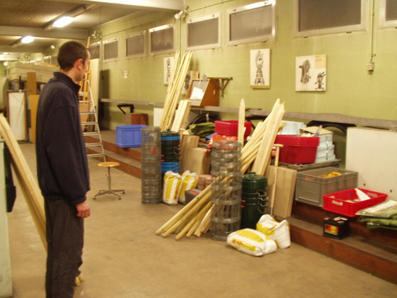
Alex surveys the equipment suppplies for 15 stations, in the basement at TU-Wien
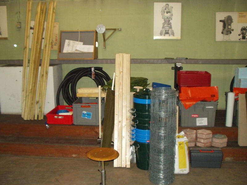
Equipment for one vehicle and about 8 stations - later supplemented with steel posts for fences.
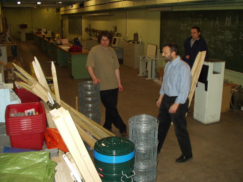
Organising the equipment prior to departure at TU-Wien, Helmut Hausmann, Walter Loderer of TU-Wien and Alex Brisbourne, SEIS-UK
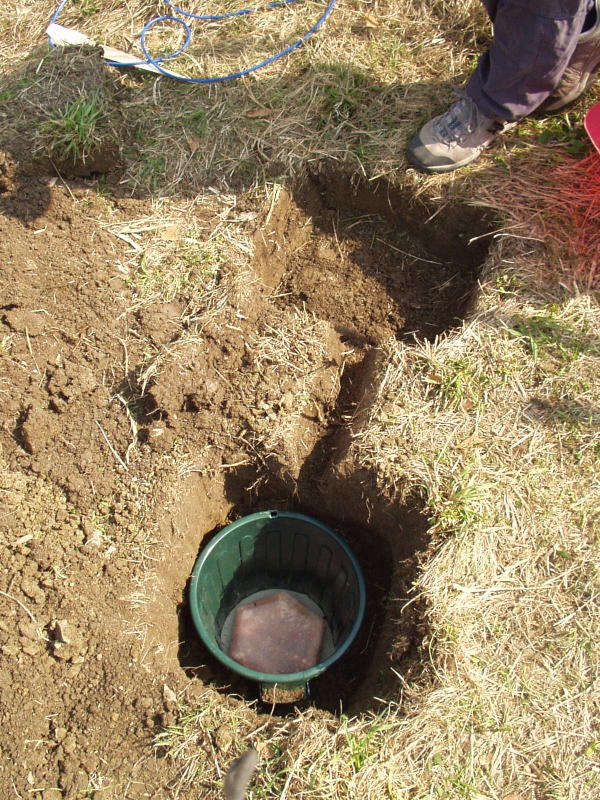
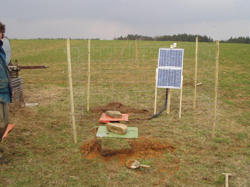
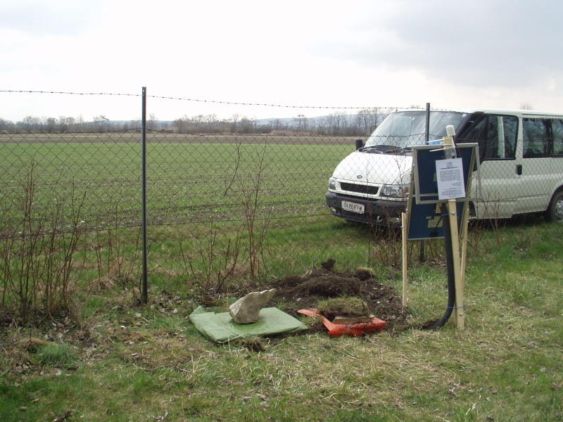
The excavation for pit and batttery box at Laab, CBP3E, the first installation. The sensor rests ona hexagonal cement paver, 23 cm across (corner to corner).
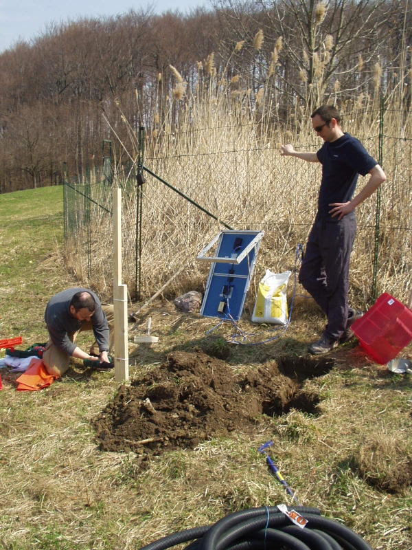
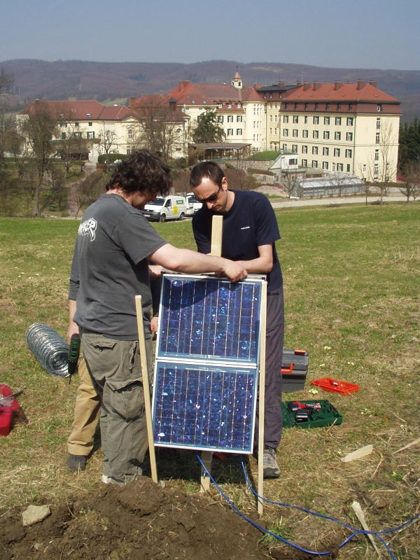
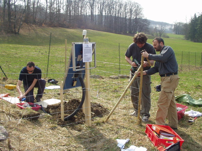
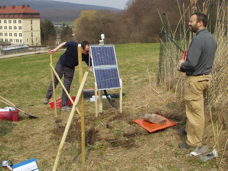
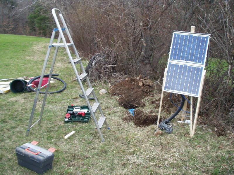
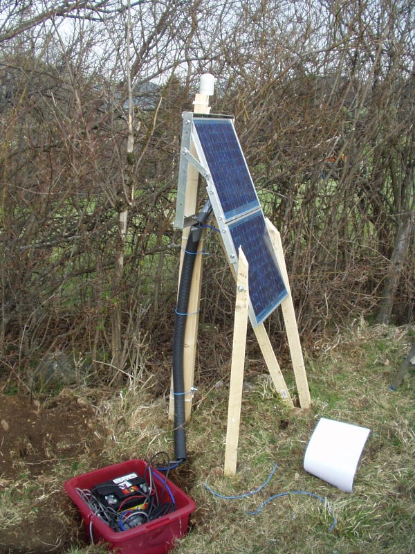
Setting up the Solar panel frame at Laab
The solar panel is supported by 3 posts to keep it above the expected 50 cm snow depth. The large building in the background is a convent.
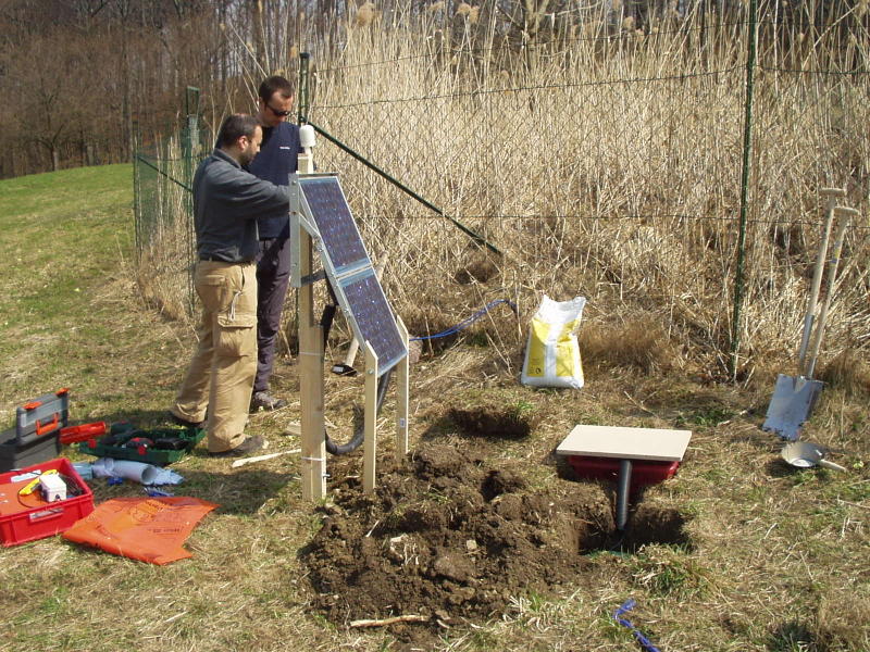
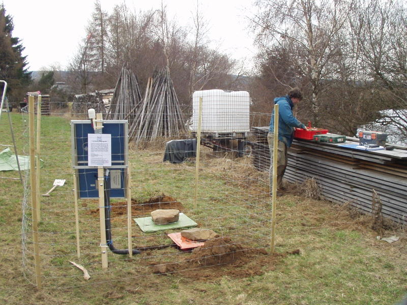
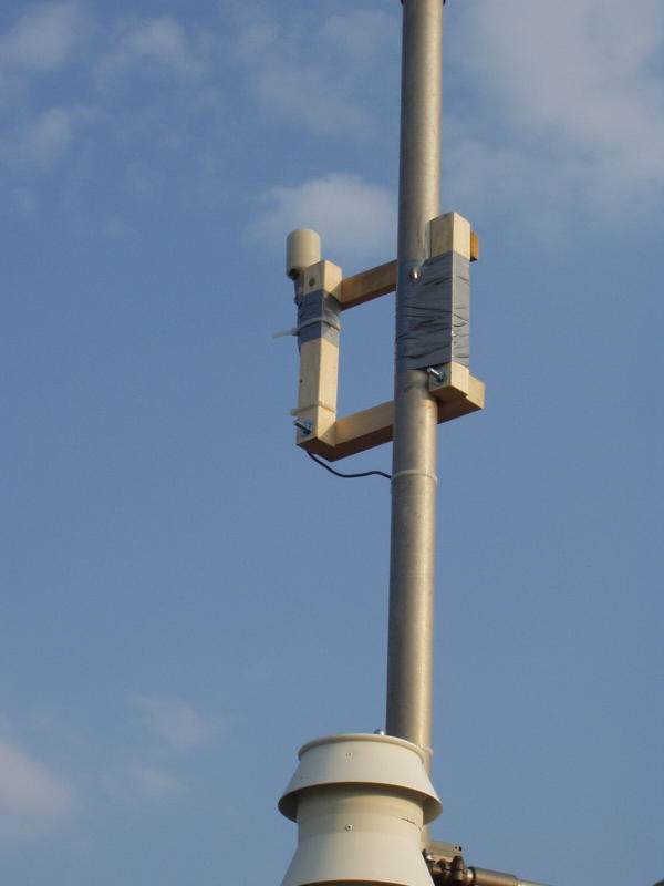
Completing the solar panel installation with GPS antenna on top.
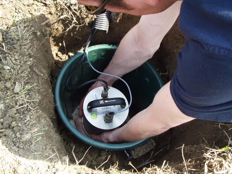
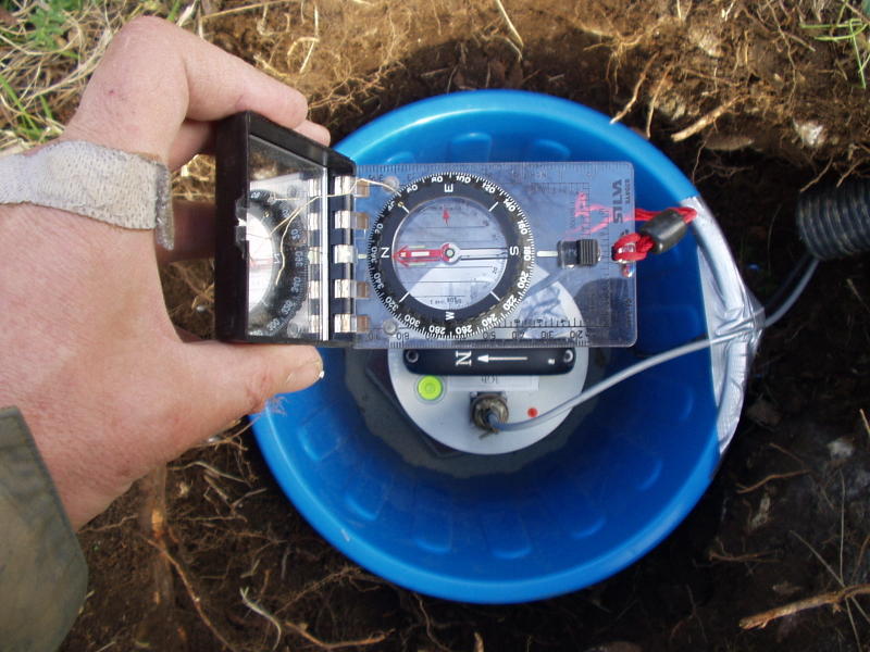
orienting and leveling the sensor inside the pit
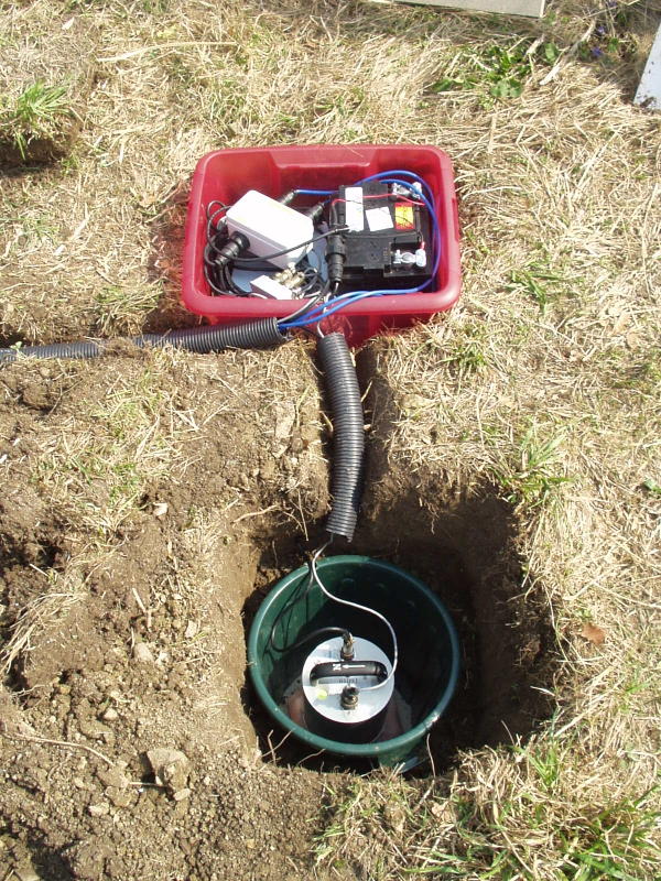
Sensor in place, all connections made, cables inside irrigation tube
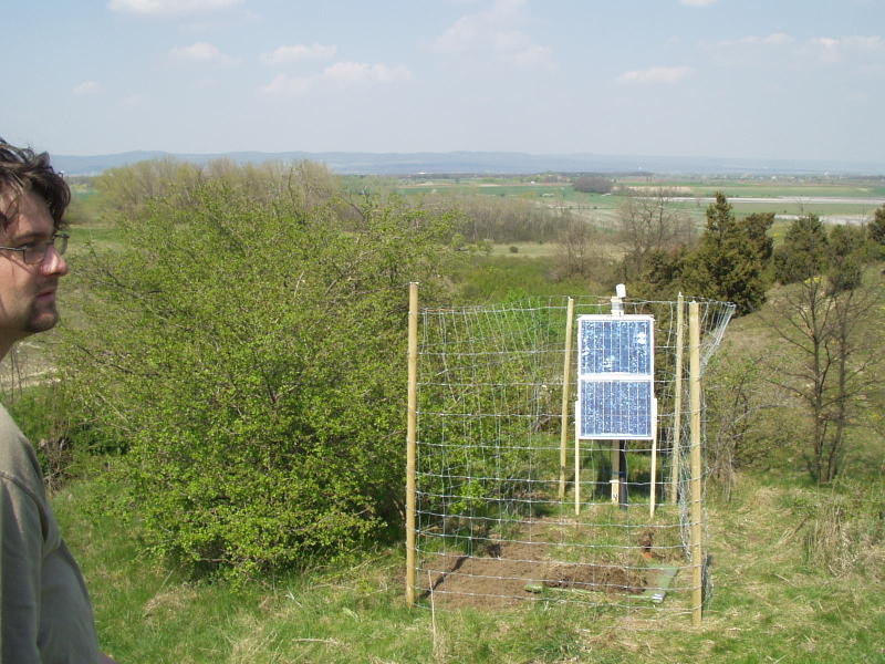
Pit and battery box are covered with hard boards wrapped in plastic. A fence is built to keep animals out.
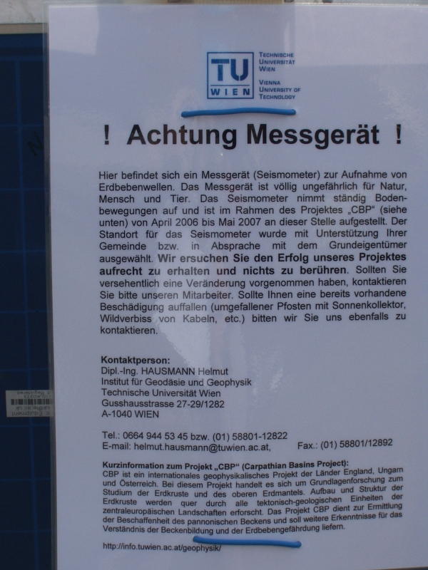
The information notice on the back of the solar panel frame - in case anyone is curious
Finishing the installation at Laab, CBP3E
Outside the Mayor's office at Raxendorf, CBP4C
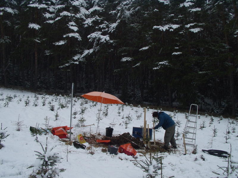
Setting up in the snow and sleet at Raxendorf, CBP4C
Drainage was a problem here. With some difficulty we dug a drain and buried some irrigation pipe to drain excess water away from the sensor
With topography like this, you would expect it to be well-drained, but melting snow apparently was the source of the water.
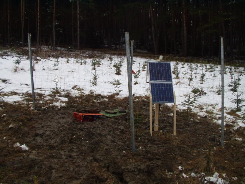
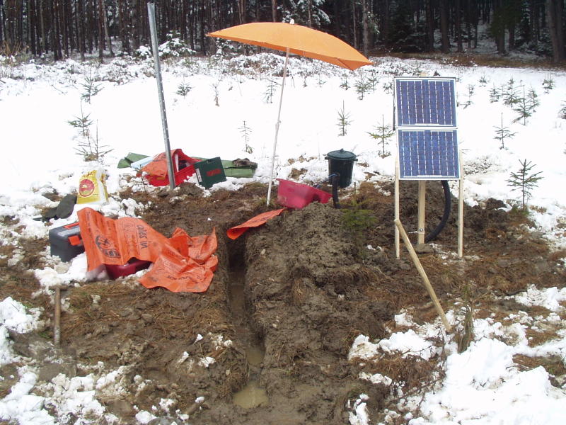
Finally completed one very muddy installation at Raxendorf, CBP4C
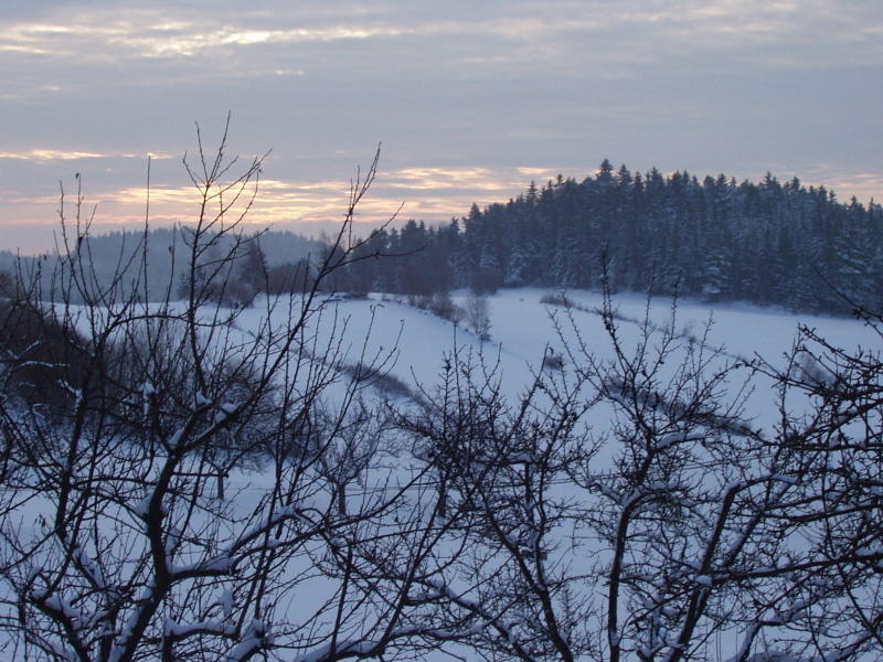
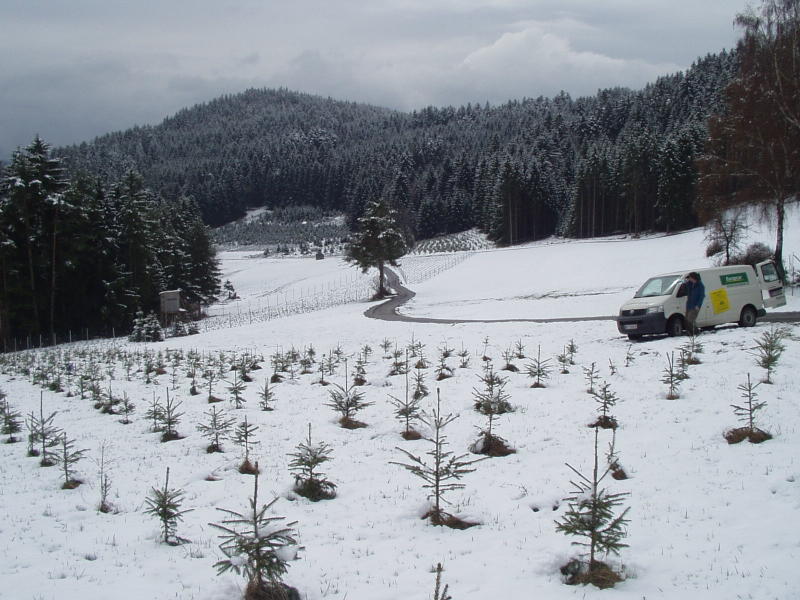
The view from our landlord's place at Gross Gehrungs

The installation completed at Gross Gehrungs - also in snow, but cold and dry.
The site at Ellends, CBP3B, in well-drained sand, one of the easier installations.
A much simpler, warmer, and dryer installation at Ellends, CBP3B
Another view of Seibersdorf, CBP3F
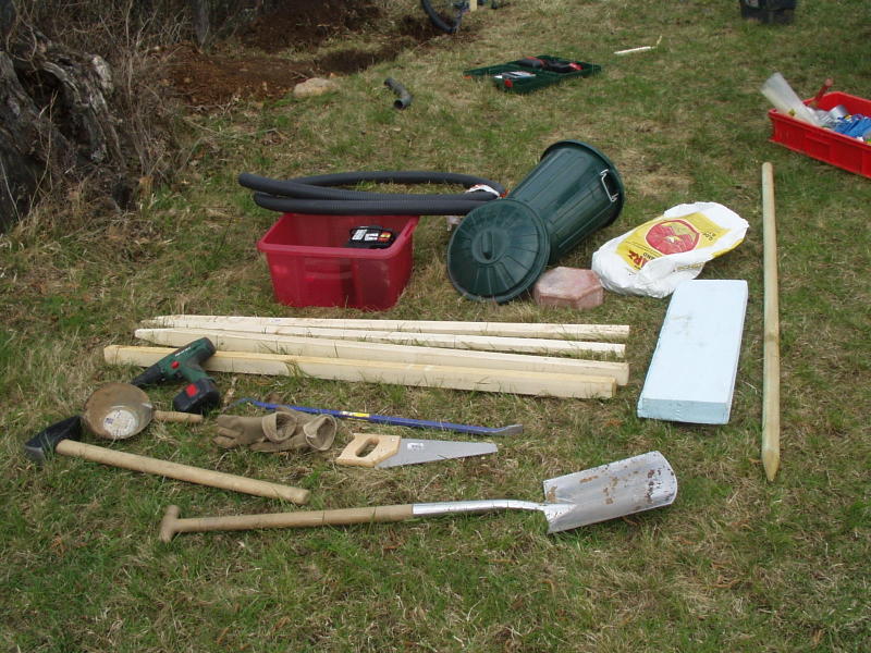
Most of the equipment needed for installation of one station is laid out here for the record - add a step ladder, the fencing material and the sensor, etc.
Installation at Voestenhof, CBP4E
The solar panel set up at Voestenhof. The landowner wanted us as close to the fence as possible - even though the panel's view of the sum would be obstructed in the morning.
Aligning and levelling the sensor
The installation at Siegensdorf, CBP3G, was in a nature reserve - authorised.
The GPS antenna needed to be offset from the mast on which it was mounted at Wiesmath, CBP4G.
The installation at Wiesmath, beside a demountable cabin, used for meteorological observations - battery and mains power inside.
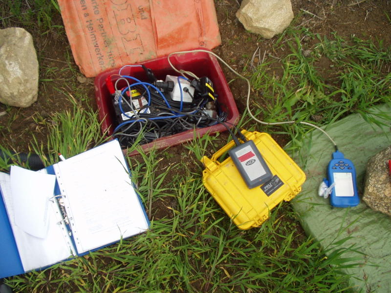
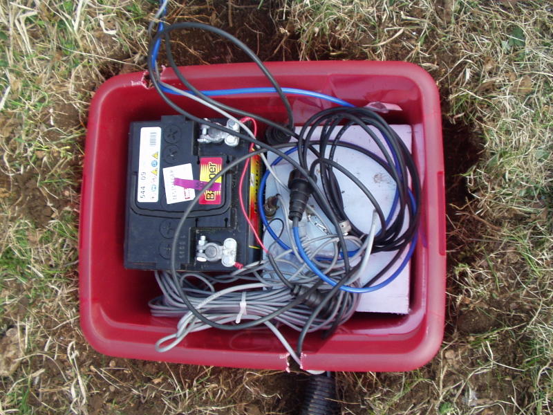
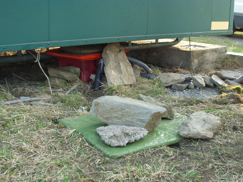
The set-up for a data download; disc powered from main battery
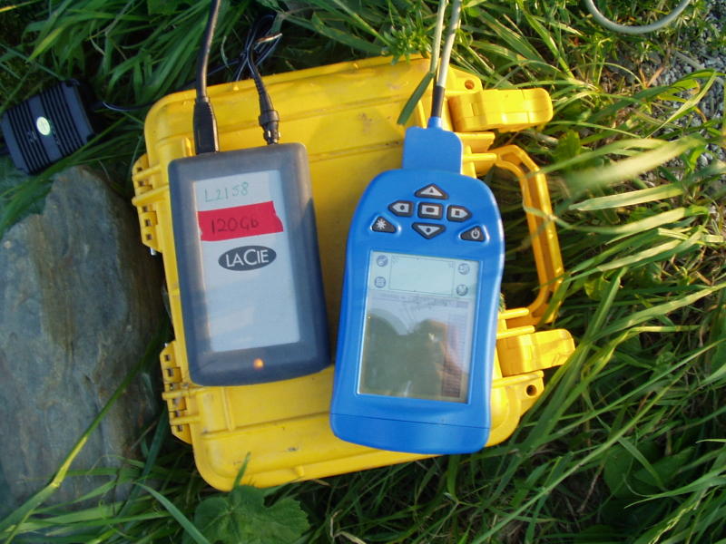
Aceeca Palmtop during a download by firewire to the Lacie external drive
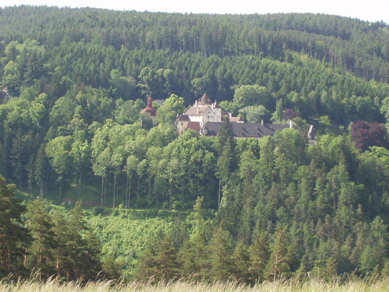
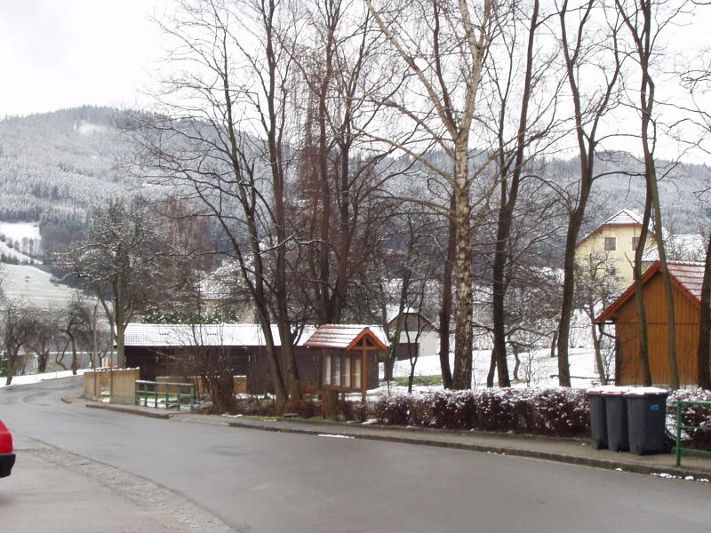
Alpine Scenery