Austrian Stations of the HST (High-resolution Seismic Tomography) Array deployed for the Carpathian Basins Project (CBP)
Operational from April 2006, photos by G. Houseman
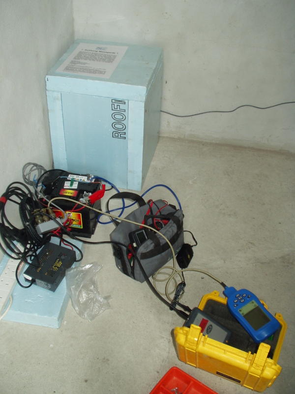
The installation at Obermarkersdorf (CBP2C)
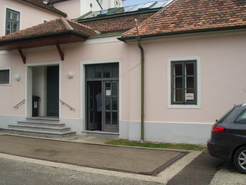
The exterior of the weighstation at Obermarkersdorf (CBP2C). The sensor is
inside the building, 2 m from the door. The large platform mounted on springs
in the foreground is for weighing vehicles.
---------------------------------------------------------------------
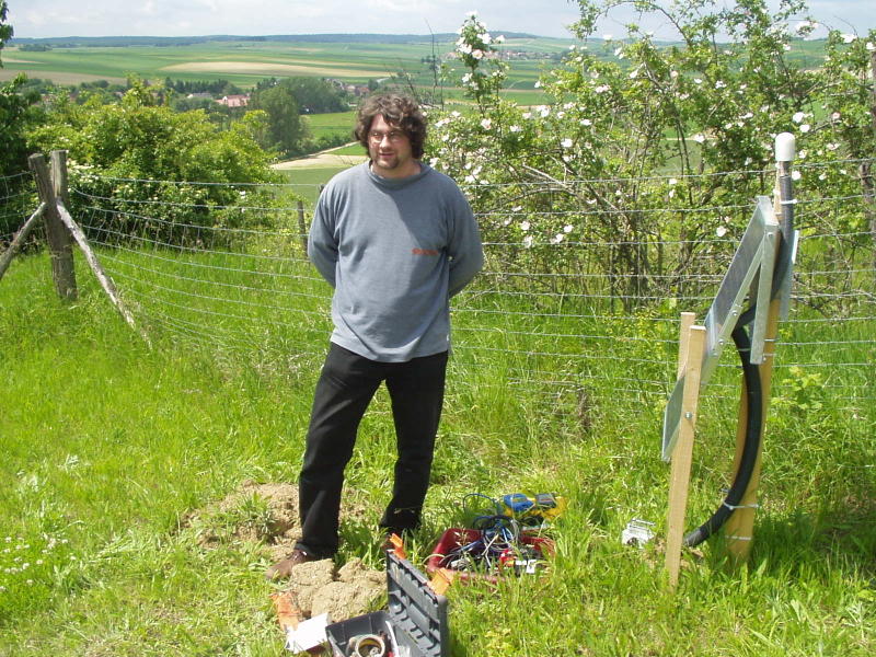
Helmut at Gnadendorf (CBP2D)
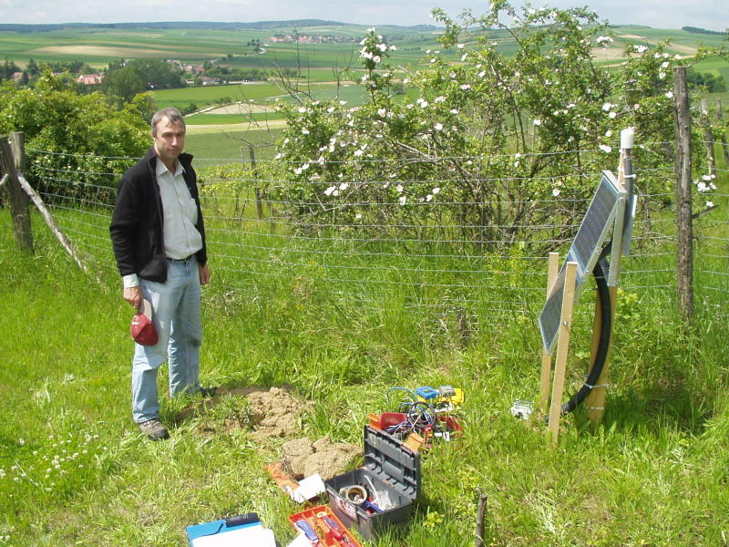
Greg at Gnadendorf (CBP2D)
---------------------------------------------------------------------
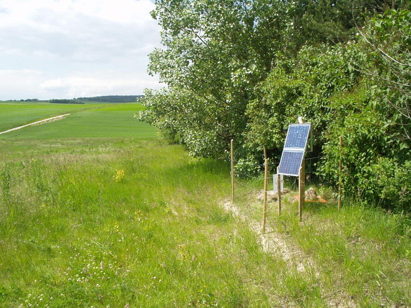
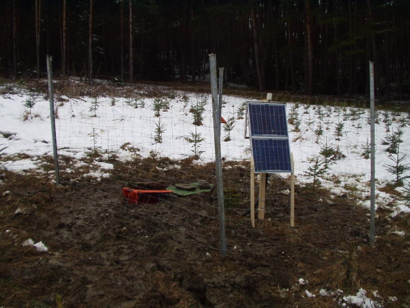
Auersthal (CBP2E) - woods on one side, field on the other.
---------------------------------------------------------------------
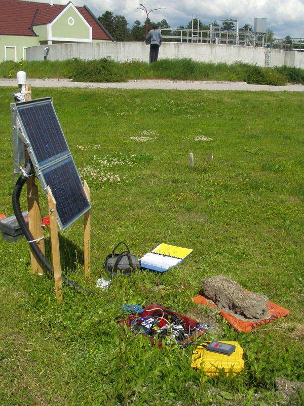
The sewage farm at Lassee (CBP2F)
---------------------------------------------------------------------
Ellends (CBP3B) surrounded by wheat at the first service in June
---------------------------------------------------------------------
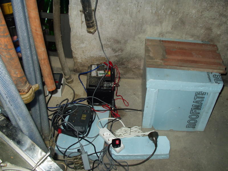
The installation inside the wine cellar at Schiltern (CBP3C)
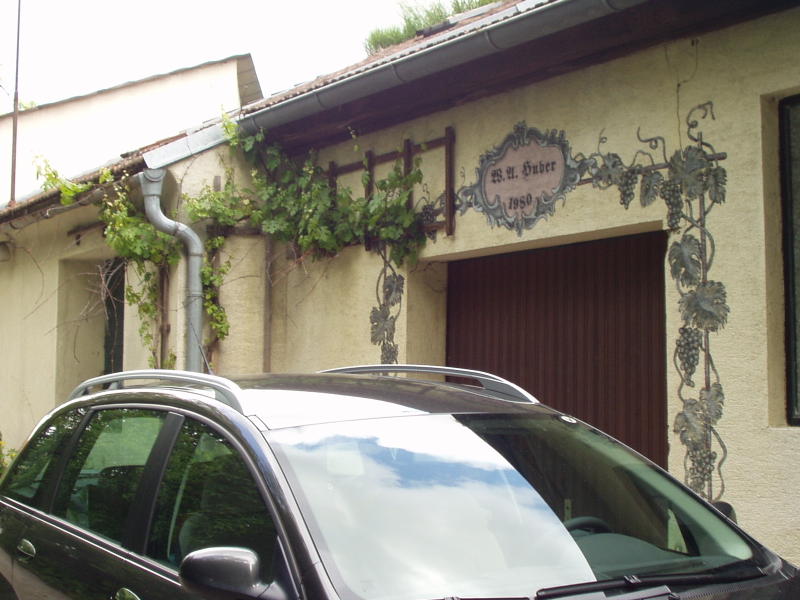
The exterior of the wine cellar at Schiltern (CBP3C)
---------------------------------------------------------------------
Oberbierbaum (CBP3D) - no photo available at this time.
---------------------------------------------------------------------
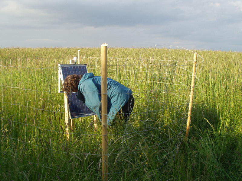
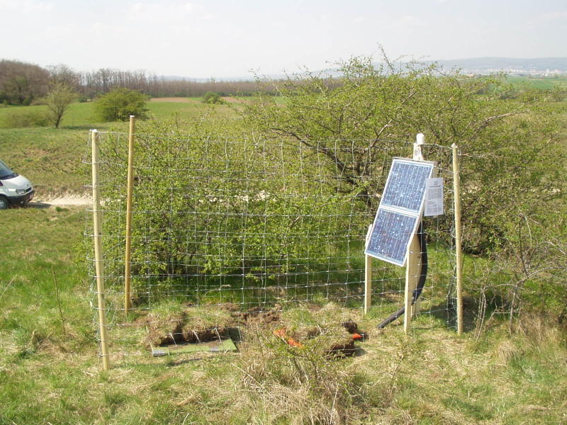
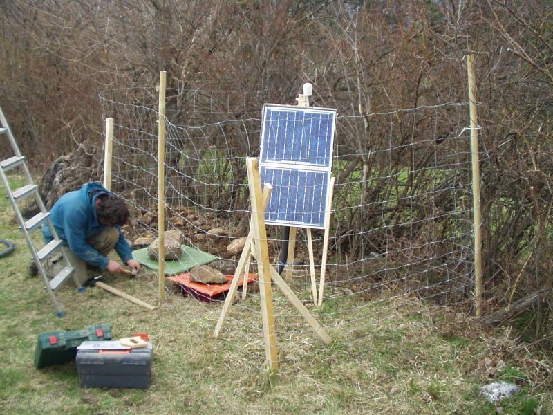
Laab (CBP3E) after the new fence was installed at the first service
---------------------------------------------------------------------
At Seibersdorf (CBP3F) - the installation is behind a locked gate.
---------------------------------------------------------------------
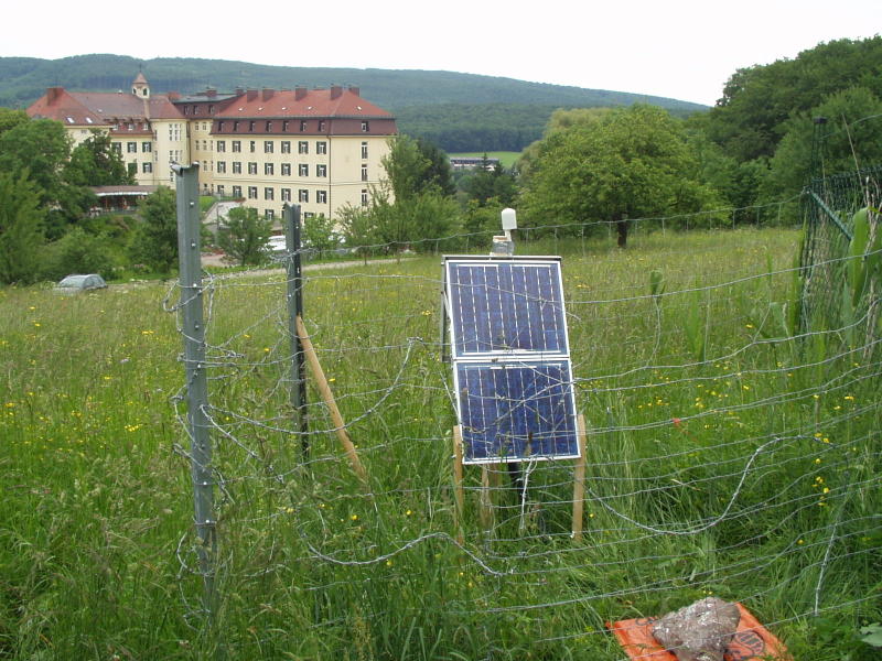
The installation at Siegensdorf (CBP3G) - this fence was later replaced
with a much more robust fence using metal poles and barbed wire. We installed
here in a small nature reserve with the permission of local authorities.
---------------------------------------------------------------------

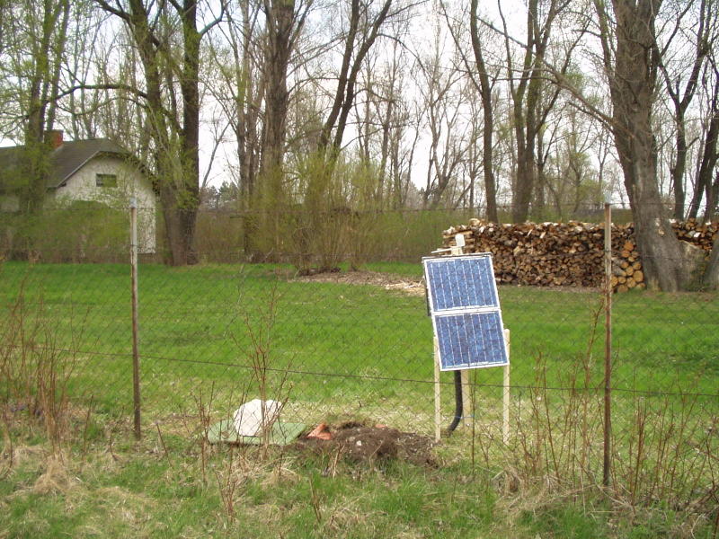
The Gross Gehrungs site (CBP4B) at installation - the northwestern station on the edge of the Bohemian Massif
---------------------------------------------------------------------
The installation at Raxendorf (CBP4C) in waterlogged ground, required a permanent
drain to keep the sensor above the water table.
---------------------------------------------------------------------
Bischofstetten (CBP4D) located between fields near a watercourse
---------------------------------------------------------------------
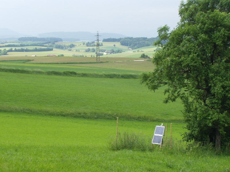
Voestenhof (CBP4F) sited on glacial till apparently - pebbles and boulders in silty sand. This fence was later upgraded as the farmer intended to keep cows in the field.
---------------------------------------------------------------------
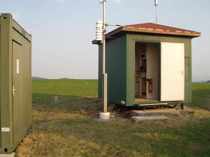
Wiesmath (CBP4G) - southernmost station in Austria. The sensor is under the large stones just to the left of the demountable cabin. The cabin is permanently powered for use as a meteorological station.
---------------------------------------------------------------------