Geophysics Field Trip to
Lake Balaton, Hungary
The 2004 Geophysics Field Trip for third year students in the BSc Geophysics program in the School of Earth and Environment at Leeds University took place from September 4 to 18. The Leeds contingent was led by Prof Greg Houseman and Dr Graham Stuart, assisted by Dr Lykke Gemmer. The following students from Leeds participated: Khamis Al-Subhi, Gareth Evans, Jonathan Graham, Alex Guise, Alix Poxon, and Nicholas Shane.
We are grateful to Rio Tinto for sponsorship of the Leeds students, which helped to offset student costs.
The 2004 field trip was a collaborative effort with a group from Lorand Eotvos University in Budapest, under the leadership of Prof Frank Horvath, Dr Peter Dovenyi, Dr Balasz Szekely, and Dr Tamas Toth with administrative and organisational support from Tamas Lipovics. Supported by other staff and 10 students from the Geophysics Program at Lorand Eotvos, the two groups met at Siofuk on the shores of Lake Balaton in Hungary where they spent 13 days studying the geological history of this unique region, and gaining experience in making geophysical measurements. Field parties included mixed groups of students from UK, Hungary, Oman, Croatia, Slovenia, and Romania (via Budapest or Leeds), and instruction was delivered in both English and Hungarian languages.
Hungary lies within the Pannonian Basin, ringed by the Carpathian Mountains. This basin developed in the last 20 Million years by extension of crust that had been previously part of the Alpine Dinaric Mountain Belt. Lake Balaton, the largest freshwater lake in Central Europe lies in the centre of this system. The aim of the fieldwork was to detect and measure recent movements on the subsurface fault structures by which the Balaton Basin had formed.
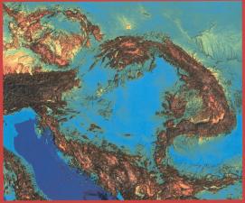
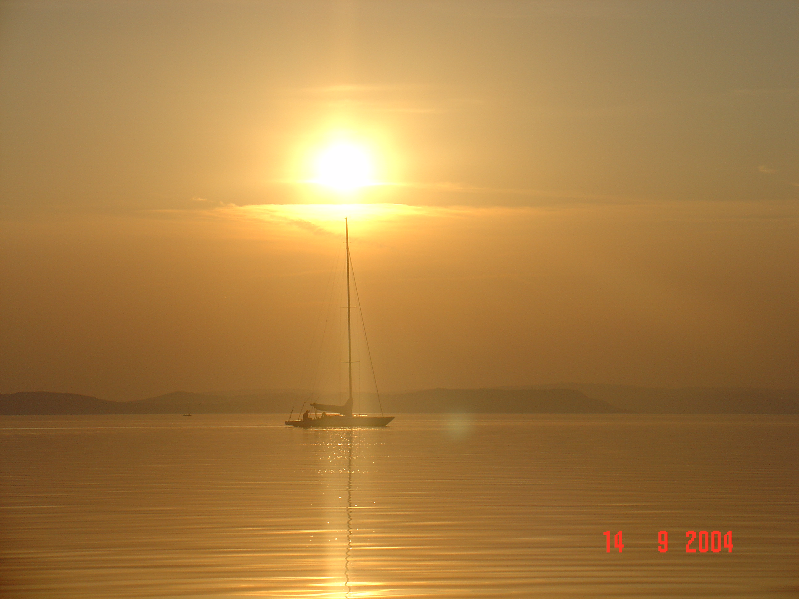
Lake Balaton
![]()
Field parties focussed on six separate areas of investigation: gravity, magnetics, land seismic, water seismic, electrical resistivity and geomorphology.
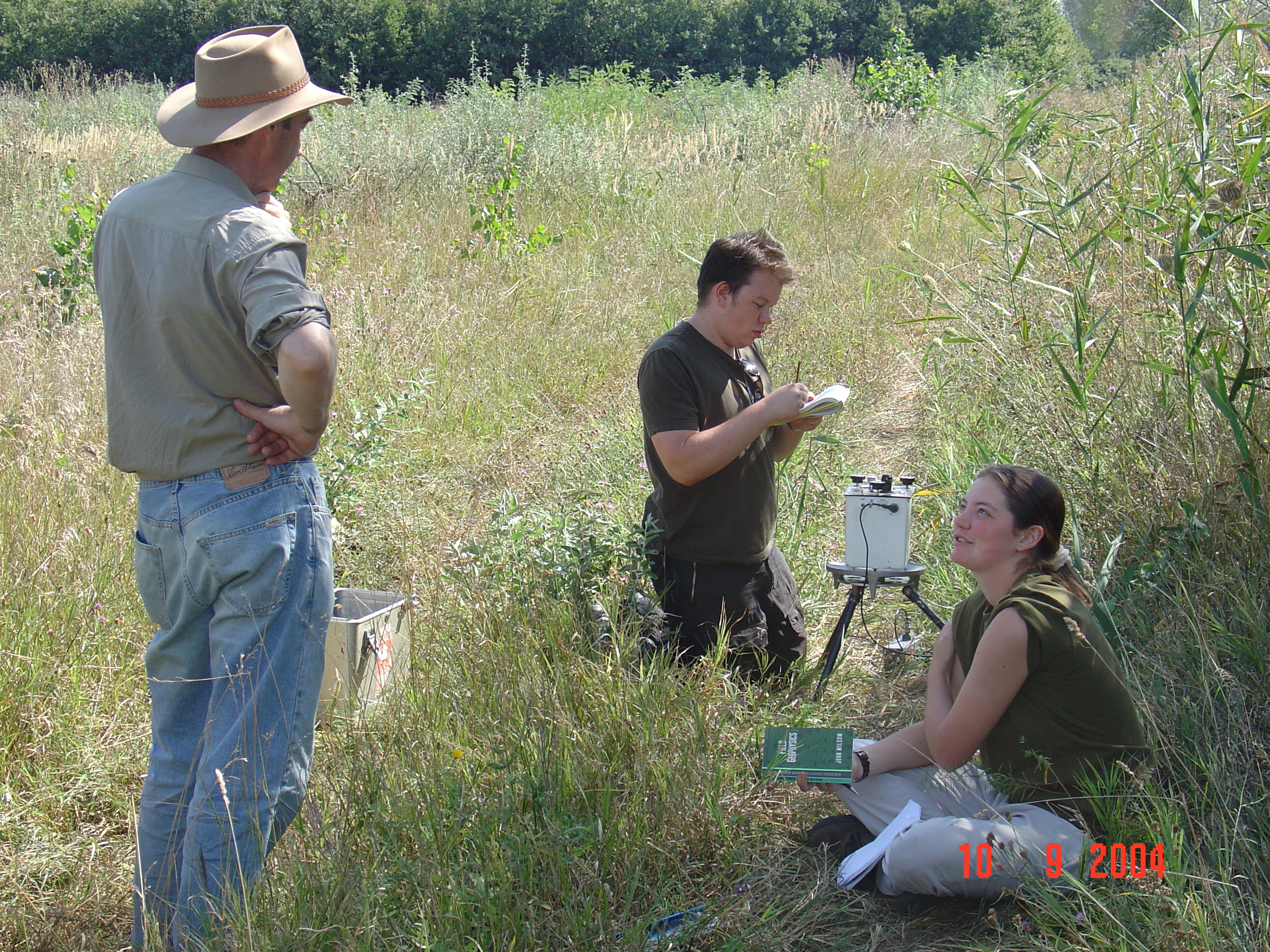
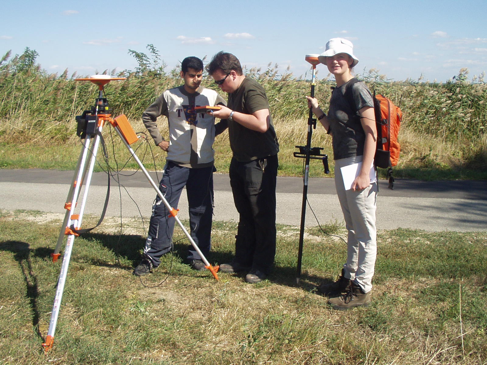
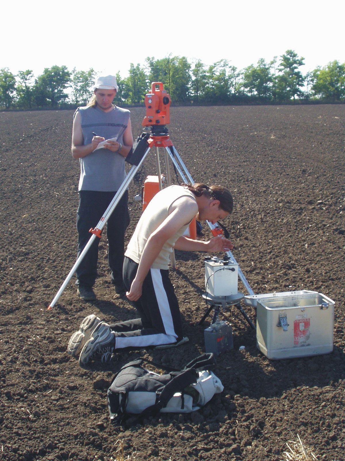
GRAVITY
(1) (2)
(2) (3)
(3)
[Some of these
images are linked to high resolution copies.
If the link is available
just click on the picture. Then use the Back button to get back
to this page]
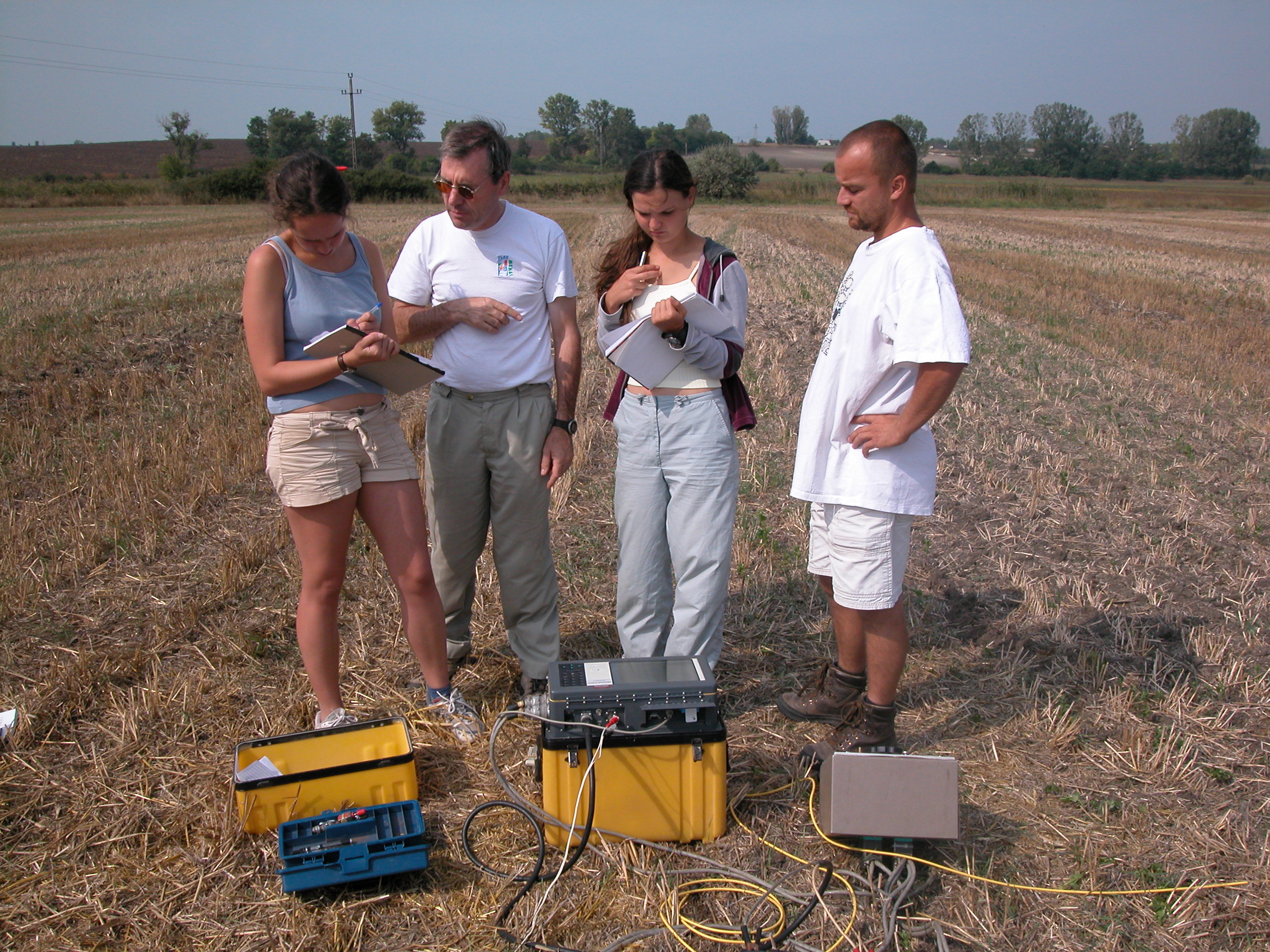
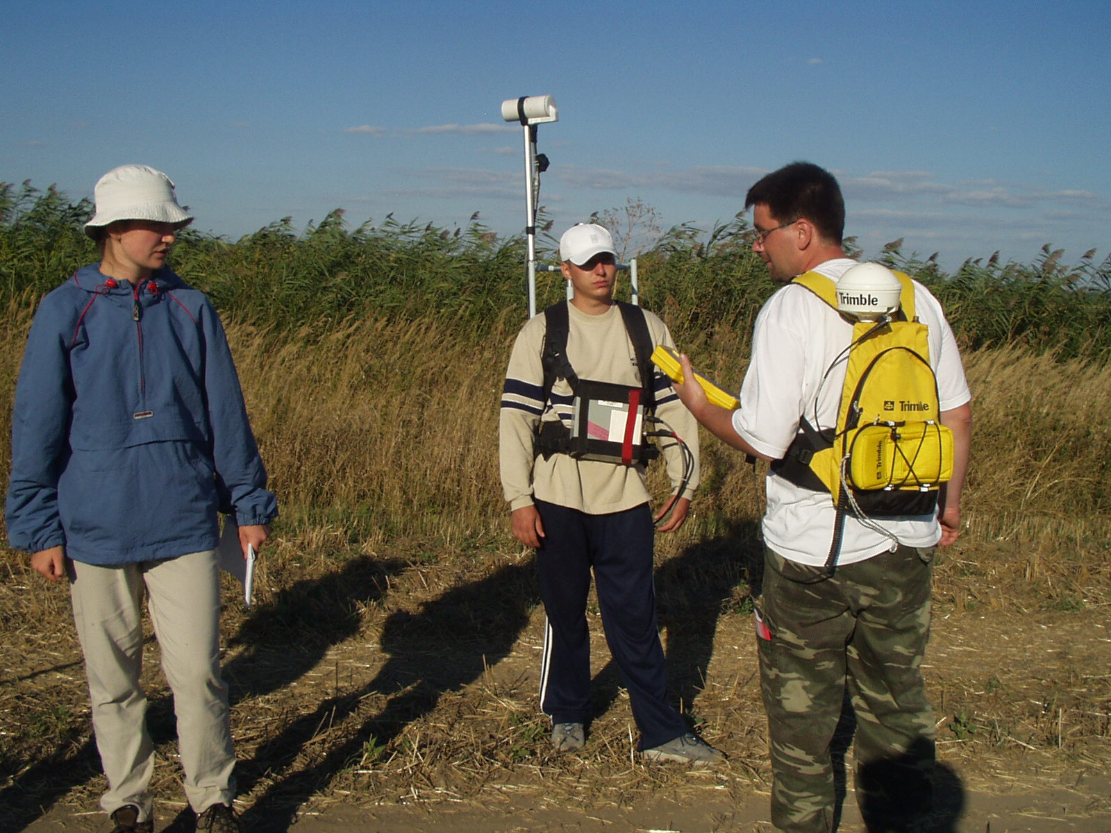
(1) Gareth Evans (Leeds) and Edit Ferencz (Budapest) discuss with Greg Houseman the fine points of measuring gravity, using a gravimeter, a very sensitive mechanical balance which detects changes in the gravitational field to one part in a million. (2) Khamis Al-Subhi (Leeds) and Gareth set up a Differential GPS base station, while Edit holds the Rover antenna, which can be placed anywhere in radio contact of the base station to measure locations precise to the cm level. The locations and heights are needed if the gravity variations are to be interpreted. (3) Heights can also be measured using an EDM (electronic distance measurement) device, as here by Leon Gombos (Budapest), while Janos Boros (Budapest) takes another gravity measurement. With five groups over 10 days we surveyed and measured gravity along a line more than 13 km long, and detected a major fault buried at a depth of about 1 km.
LAND SEISMIC
(4) (5)
(5) (6)
(6)
In the seismic method, a line of geophones (sensitive movement detectors) are laid out and an energy source in the form of a hammer wielded by Janos (4) produces compressional waves that are reflected from layers of rock in the sub-surface. (5) Graham Stuart and Tamas Toth explain the operation of the 24 channel recorder to Alix Poxon (Leeds) and Orsolya Vincze (Budapest). (6) Eszter Darai signals for a shot to be fired and recorded.
(7) (8)
(8)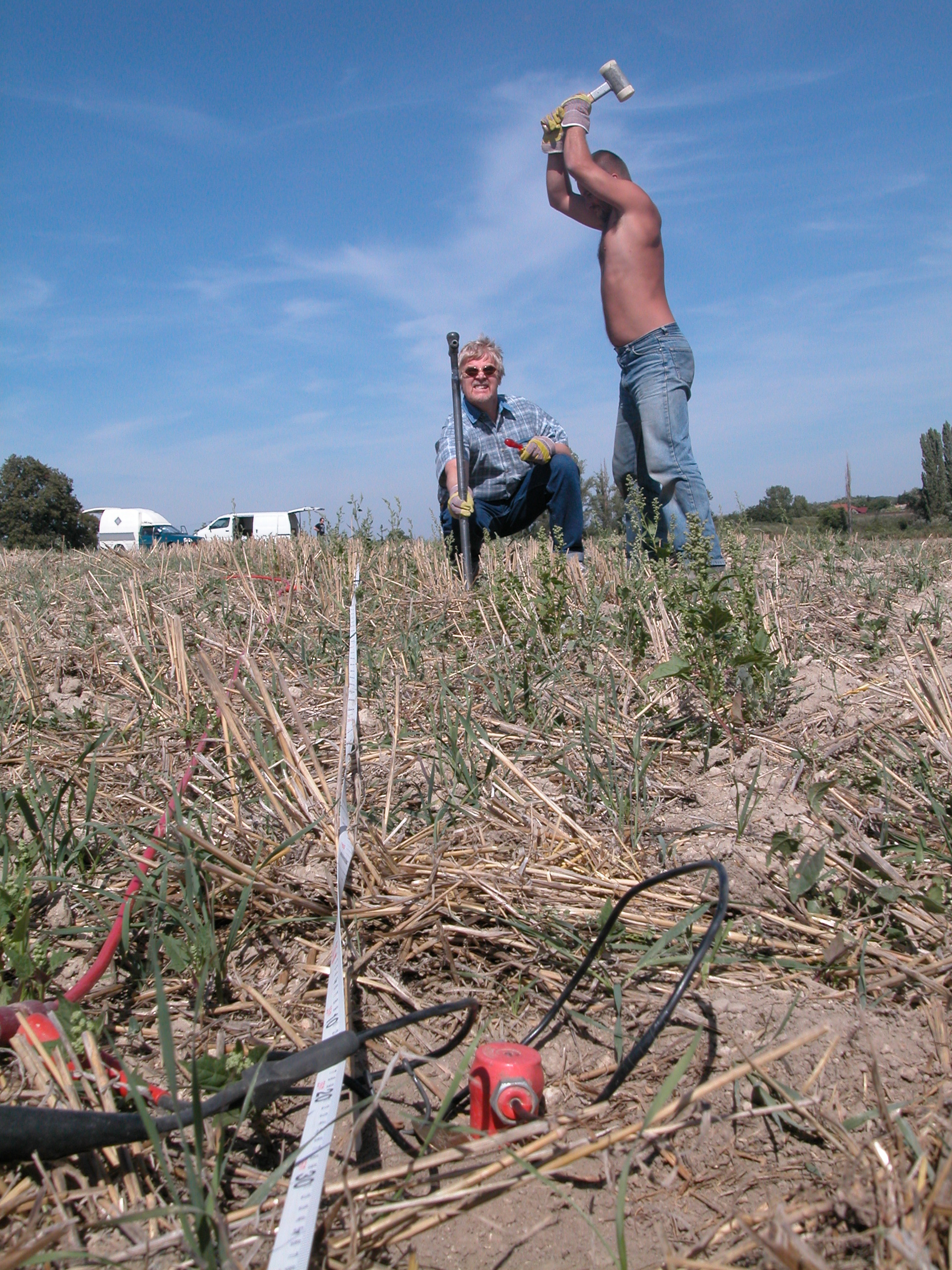
We also used small explosive charges, here fired by Gergely Surányi (7). Drilling holes for the shots was laborious. The power drill broke, so Frank Horvath and Tamas Toth (8) demonstrate the drilling technique. The seismic reflection signals from the top of the Mesozoic/Paleozoic basement came in loud and clear from depths of about 100 m. The reflection signals were analysed for evidence of faulting.
MAGNETICS
(9) (10)
(10) (11)
(11)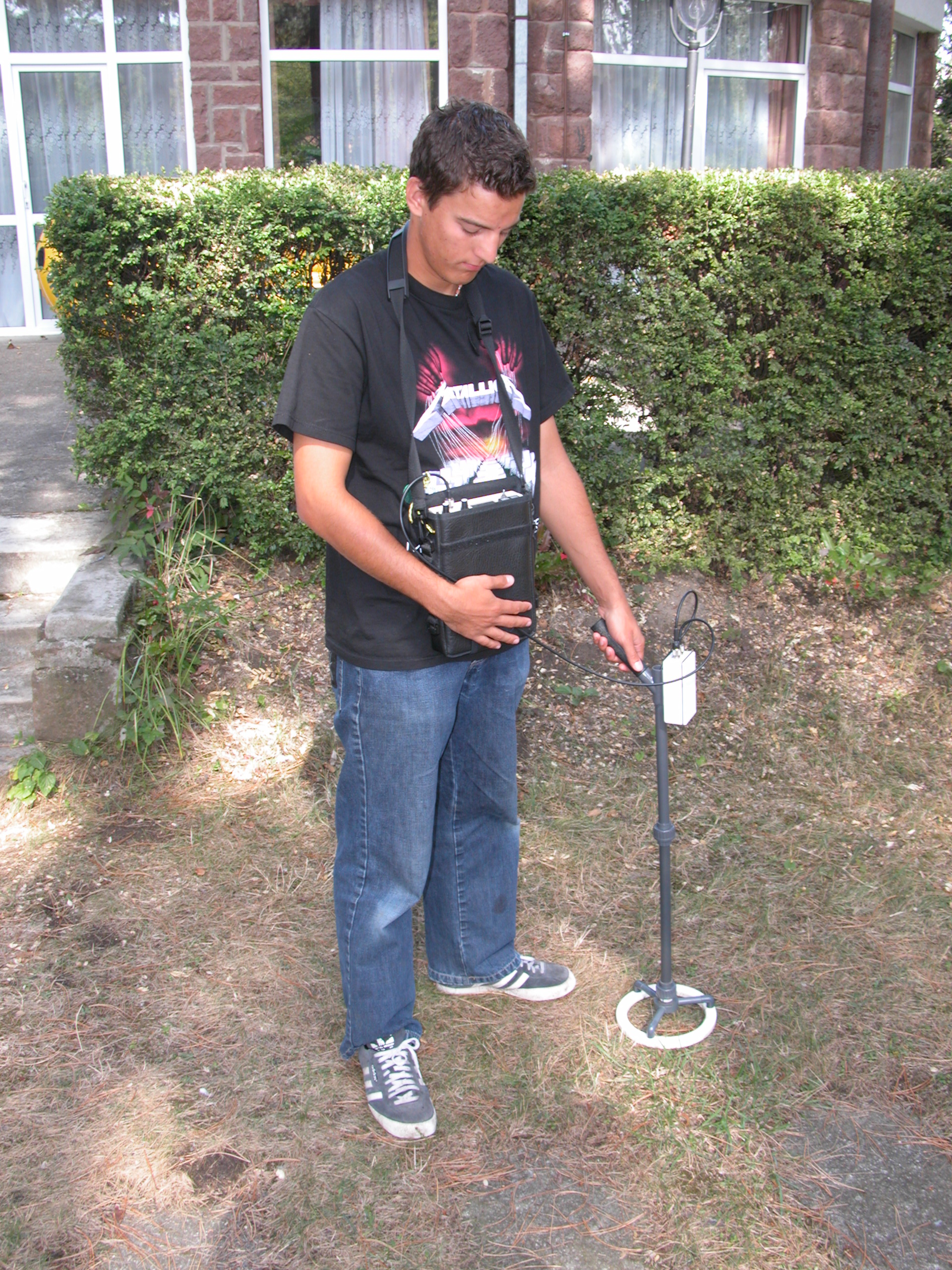
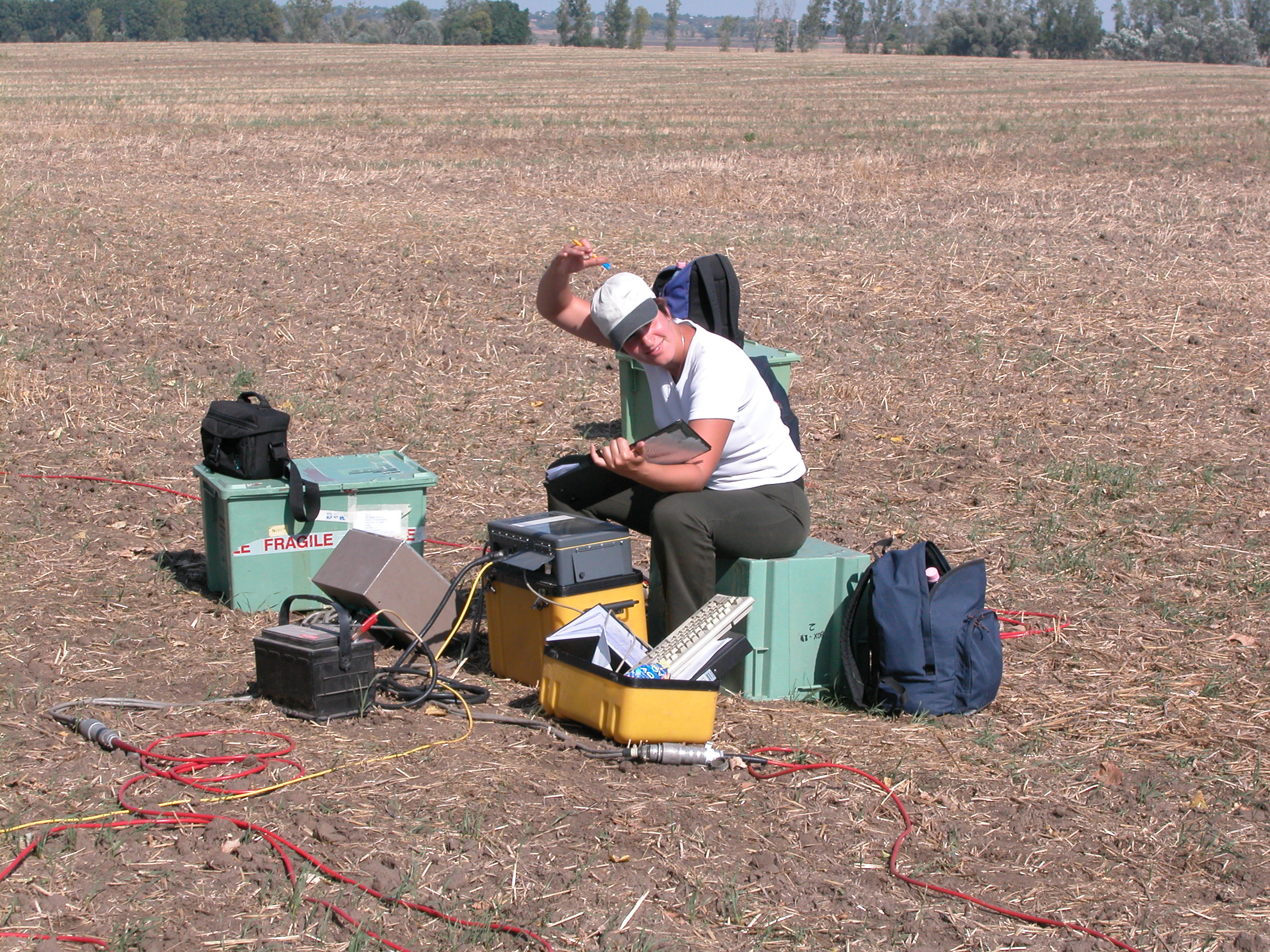
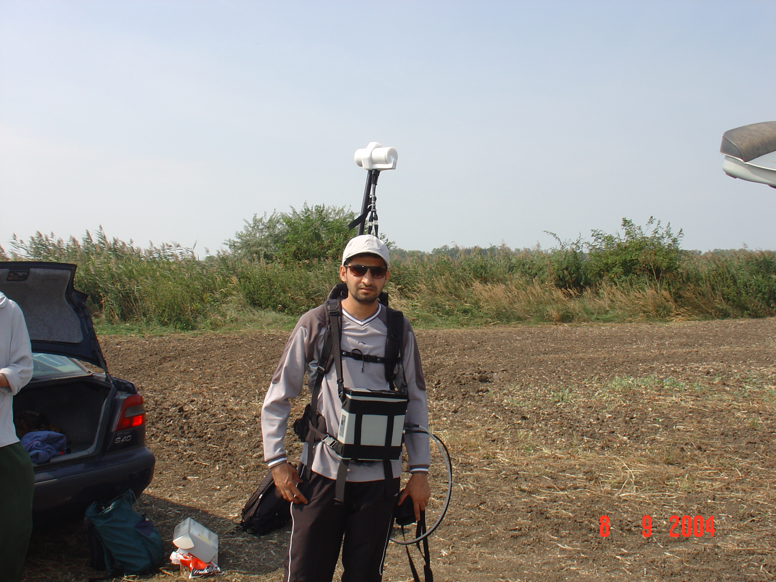
The Magnetics survey teams used a combination of Overhauser effect magnetometers and proton precession magnetometers. Khamis is here (9) shown kitted up for a magnetics survey, with detector probe carried on his back and recording console in front. Continuous recording of magnetic field was used, with locations recorded using differential GPS. Zoltan Oberle and Krisztian Sallai (Budapest) explain the operation if this system to Edit. A magnetic susceptibility survey was also carried out to measure the effect of environmental pollution downwind of a major industrial area. The susceptibility meter is here tested out by Nick Shane (Leeds).
ELECTRICAL RESISTIVITY
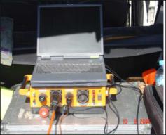
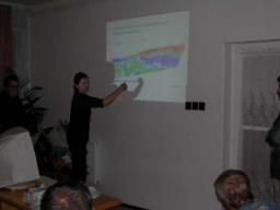
Electrical Resistivity measurements were carried out using a switched DC resistivity tomography apparatus, with data collected on PC (12) mounted in the rear of a vehicle. In (13) Edit explains the resulting electrical resistivity section at a group meeting.
(12) (13)
(13)
WATER SEISMIC
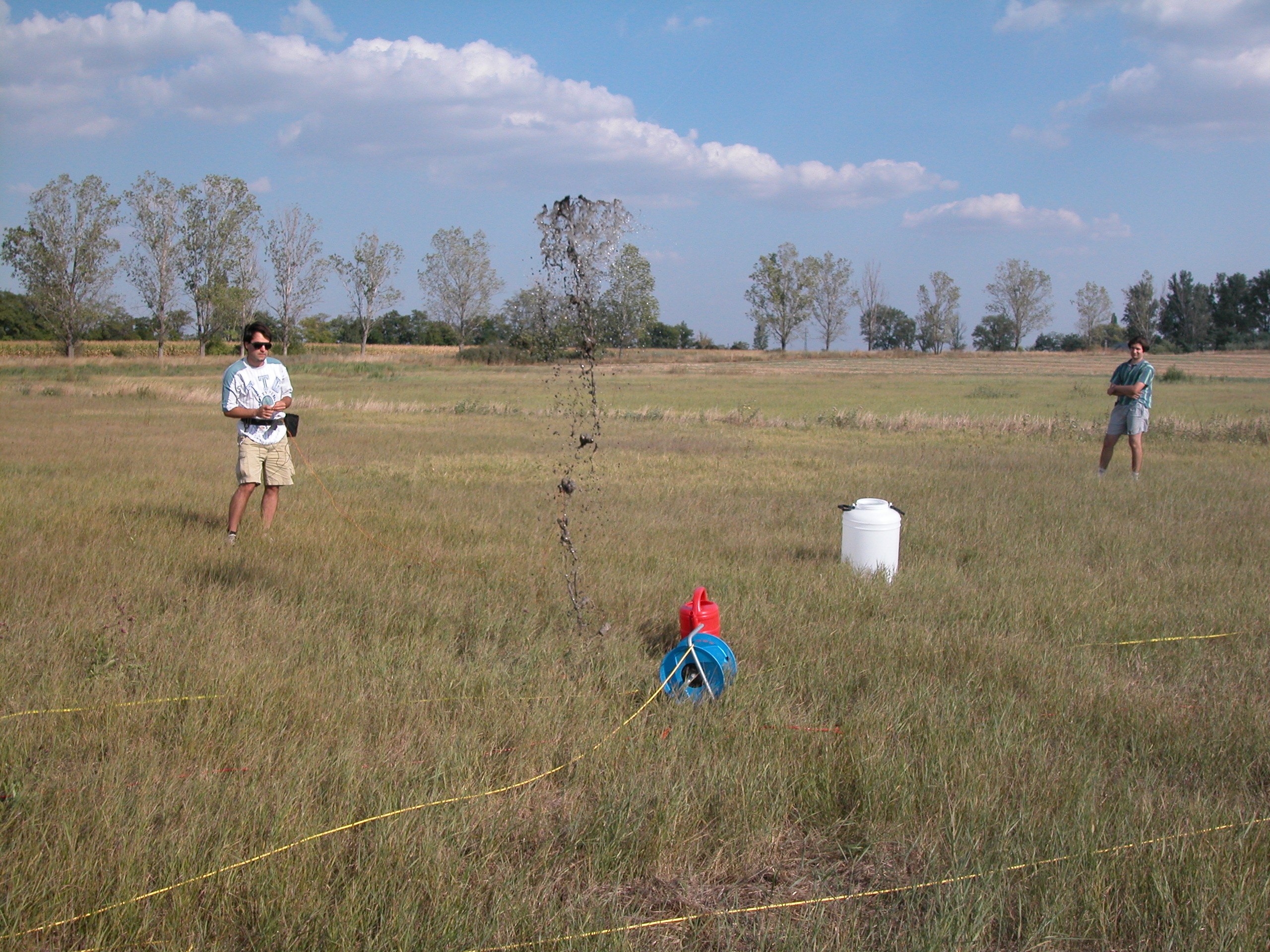
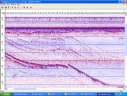
High resolution marine seismic data (15) were collected using a small boat (14) using sparker source (visible on the left side of the boat) and acoustic transponders towed behind. The regional Miocene unconformity is clearly visible in most places as well as numerous small sedimentary and tectonic structures related to regional compression since the Miocene.
(14)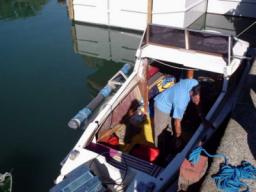 (15)
(15)
Our field base (16) at the Summer home of the Hungarian Academy of Sciences provided facilities for computers used in data processing and presentation and discussion of field results. Located right beside the Lake Balaton (17), it provided also beautiful environment.
(16) 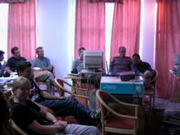 (17)
(17)
Further information about the 2004 Lake Balaton field trip, or the Geophysics Programs at the University of Leeds, can be obtained by contacting Prof Greg Houseman or Dr Graham Stuart at the School of Earth Sciences (http://earth.leeds.ac.uk/geophysics).