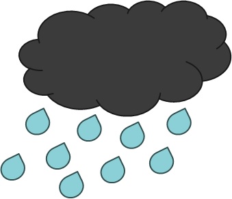
Clouds
Types and Classification
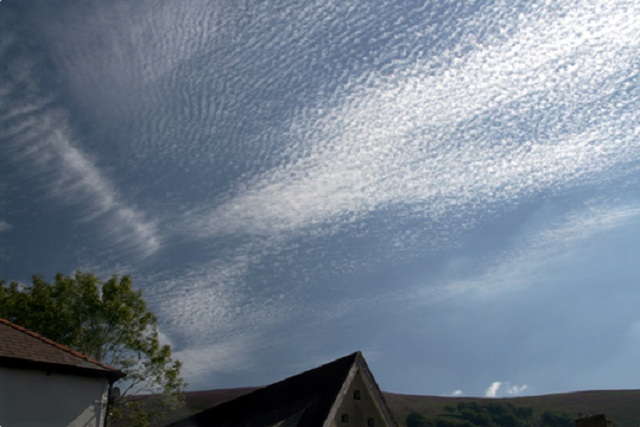
Created by Freya I. Lumb.
Low-Level Clouds
Below 2km
Cumulus
- Cumulus means heap or pile
- Traditional fluffy clouds
- Associated with fair weather but occassional showers
- Developed from convection

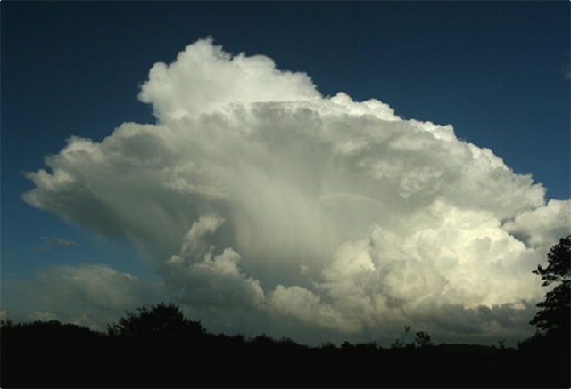
Cumulonimbus
- Usually the tall fluffy clouds making soft anvil shape
- Nimbus means rainy cloud
- Heavy rain and thunderstorms
- Only cloud that can produce hail, thunder and lightening
- Developed from convection
Stratocumulus
- Status means flat layer
- Light showers at most
- Usually gaps
- Usually developed from a layer of stratus cloud breaking up due to change in conditions

Stratus
- Flattened, spread out clouds
- Lowest lying, can form mist and fog
- Form from stable conditions
- Dependent on thickness, light drizzle

Mid-Level Clouds
2km to 6.5km
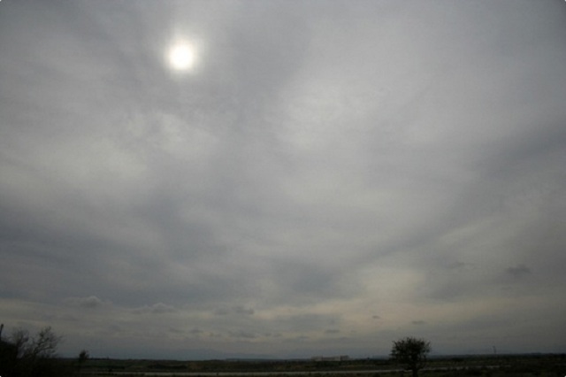
Altostratus
- Alto means mid level
- No precipitation
- Dull, featureless clouds covering the landscape in a thin layer
- Water and Ice
- Usually formed from a descending cirrostratus cloud
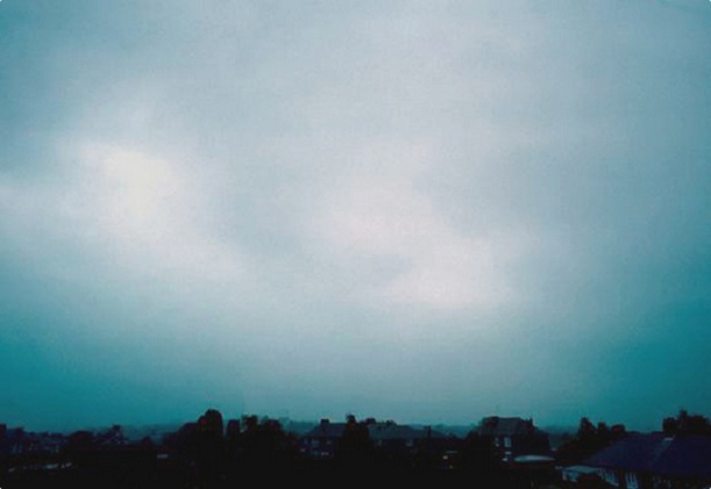
Nimbostratus
- Dull, featureless clouds covering landscape in thick layer
- Continous precipitation
- Develop from burgeoning altostratus clouds
Altocumulus
- No precipitation
- Ice and Water
- Bands/patches of mid level fluffy clouds
- Formed from broken altostratus, convection, mountainous topography to produce the wave-like features
High Level-Level Clouds
Above 6.5km
Cirrus
- Cirrus means wispy
- Ice only
- Formed by ascent of dry air, causing sublimation
- Seen all year round
- No precipitation

Cirrostratus
- Wispy flat layer, can span thousands of miles
- Ice only
- Formed by slow air ascent
- Indicator of weather as usually forefront of weather systems
- No precipitation

Cirrocumulus
- Ice and Supercooled Water
- No precipitation
- Formed from cirrus layer disturbed by turbulent vertical currents
THE END
For more information got to Met Office
Courtesy of The Cloud Book: How to Understand the Skies by Richard Hamblyn, 2013 (The Met Office) and The Met Office: http://www.metoffice.gov.uk/learning/clouds
Formatting from reveal.js, Hakim El Hattab