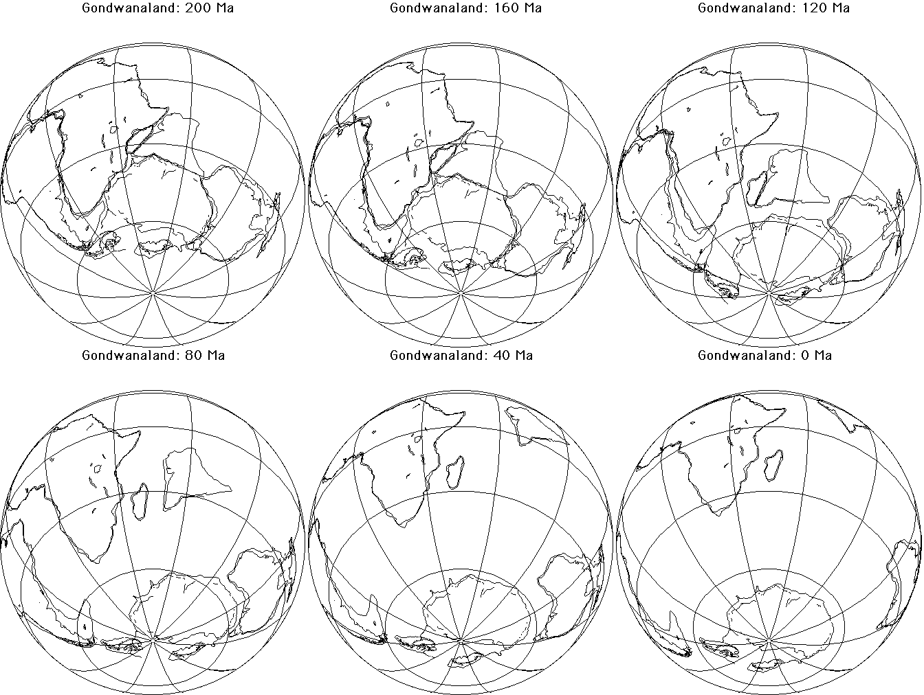
Dispersal of Gondwanaland
The globe here is oriented so that the centre of the spherical projection
lies in the Indian Ocean about midway between Madagascar and Antarctica
(45° E ,50° S). The animation shows the positions of the southern
continents between 200 Ma (200 million years before present) and 0 Ma
(present) in increments of 10 Ma.

The relative positions of the continents at any time are determined by
paleomagnetic measurements. Rocks formed at a certain time freeze in the
local magnetic field. The direction of the field tells the distance to the
magnetic pole (paleolatitude). Magnetic anomalies on the sea floor also
provide a history of the opening of the ocean.
These maps are made with the program "Terra Mobilis".

